Meta Marble
Map Dataset
Meta Marble is a map dataset.
The map dataset contains vector representations of:
- Grid Systems, with a focus on DGGS (Discrete Global Grid System)
- Ecoregions
- Timezones
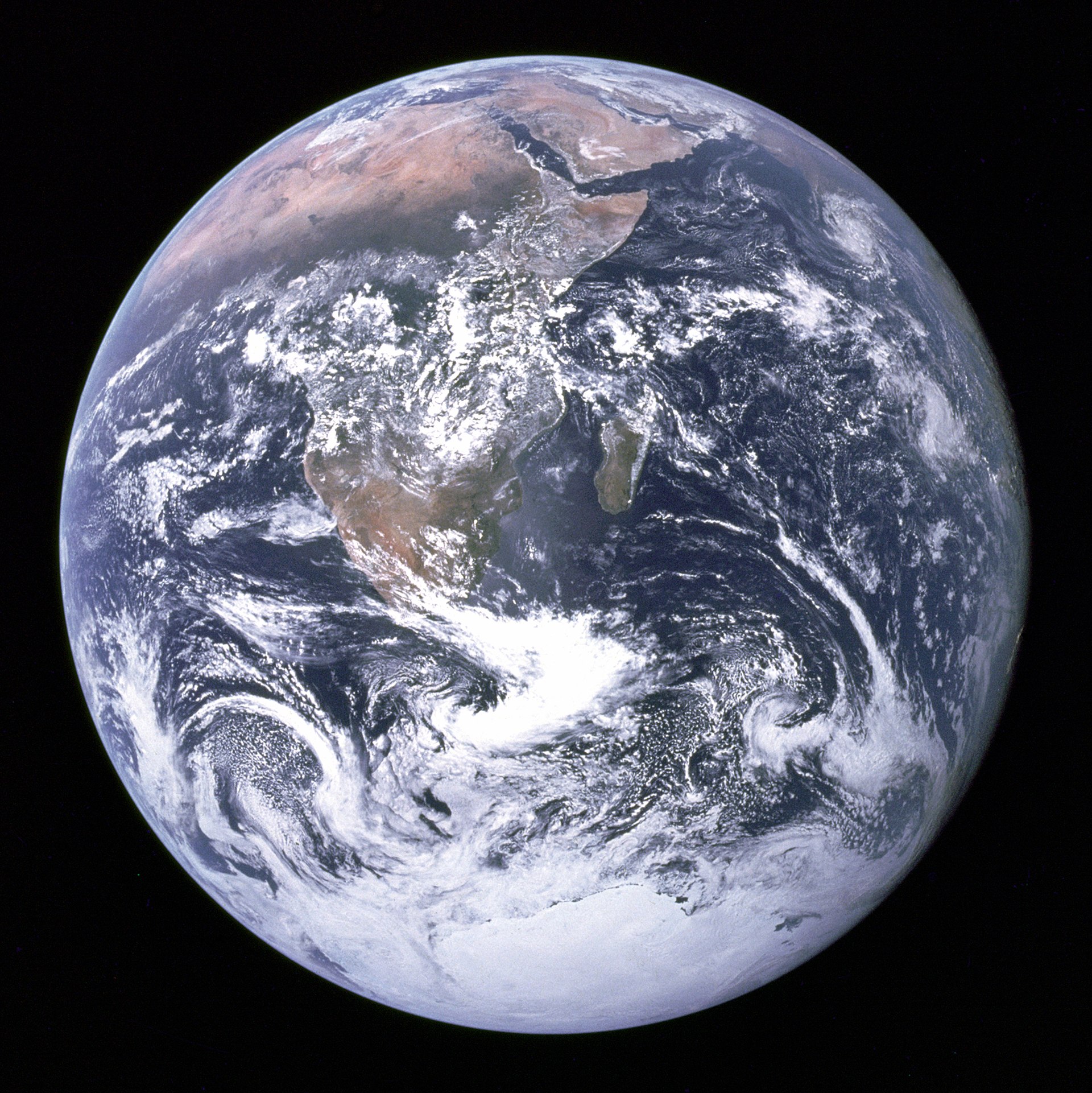
Meta Marble is dedicated to The Blue Marble is an image of Earth taken on December 7, 1972, from a distance of around 29,000 kilometers (18,000 miles) from the planet's surface. Taken by the crew of the Apollo 17 spacecraft on its way to the Moon, it is one of the most reproduced images in history.

Meta Marble is an open-source project maintained by Geoid. The dataset shares a common conceptual grounding with our Dymaxion and Earth Observer projects.